Tuesday, April 19, 2016

7 Mile Rim

Portal RV Resort
Moab, UT
April 16, 2016

All weekend it was the same...Old Man Winter made a visit (hopefully for the last time) to Moab with gusty winds, cold temps and cloudy skies.  The LaSals got quite a bit of snow, but the valley only got a few rain showers.  Even today it is only 55 degrees (as I sit here and type) with cloudy skies after a morning low of 34.  The long range forecast has it warming up the next few days...thank goodness!        

Saturday, the club (Moab Friends For Wheelin...MFFW) had 7 Mile Rim on the calendar.  


We bundled up, packed lunch, turned up the heater in Pearl and off we went with Dee as our leader.


7 Mile Rim is 12th from the top of the 34 trails Charles Wells list as difficult in the new third edition (2016) Guide to Moab, UT Backroads & 4-Wheel-Drive Trails.  

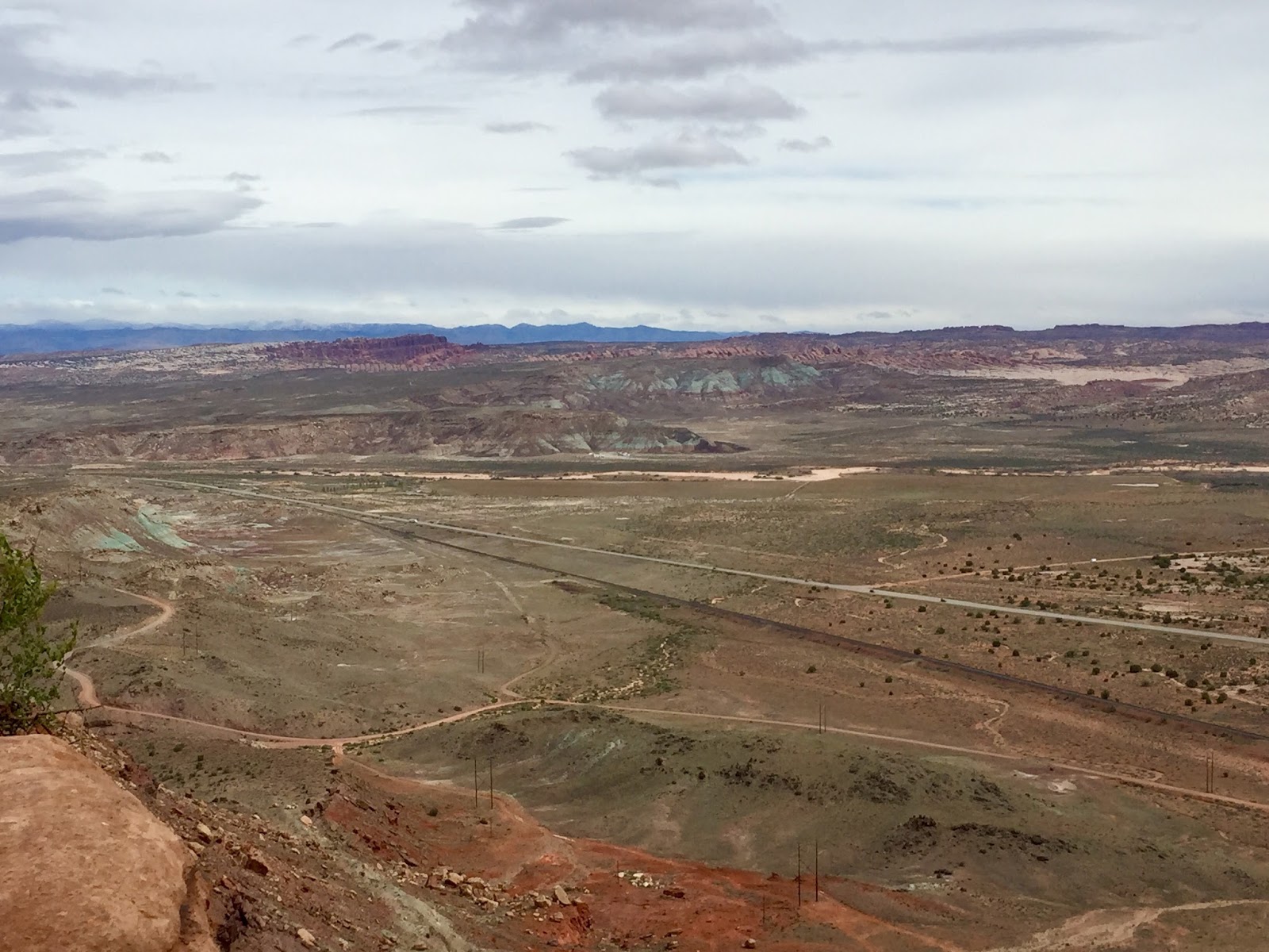
The first part of the trail follows the rim.   From here we had a clear view north towards Klondike Bluffs with the snowy Book Cliffs in the background... 
to the south the LaSal Mountains getting lots of snow...
 and a picture you don't see often.  To the east, the rock formations in Castle Valley are usually unseen due to blending with the rocks behind them.  But today the low clouds behind Castle Rock and the Priest and Nuns made both of them visible. 
There are two side trails off the main trail.  The first one goes to Uranium Arch.  

The large fins did a good job of shielding us from the wind so we did some exploring here.  Back in the 80s jeeps used to drive across the arch.  
 Back on trail we headed towards the Monitor and Merrimack.  The trail goes in-between these huge rock formations.


 Once at the base of the Merrimack, the trail gets tippy and exciting.  Dee calls this section Eileen.  The pictures don't show how off camber it is but it can make your tummy feel really queasy... scary fun I say!


The second side trail goes to Wipe Out Hill.  We all lined up, checked it out and decided it was a go.    

L to R : Chuck, Donna and Howard, their daughter Chris, us, and Dee


Dee went down first...going down is always the scariest to me.


Dee went up first...


 and waited to spot us up if we needed it.


Back on the main trail, we turned in the direction of   Determination Towers.  Our responsible trail leader checking the trail for damage...


 From here, we traversed winding roads through large buttes...
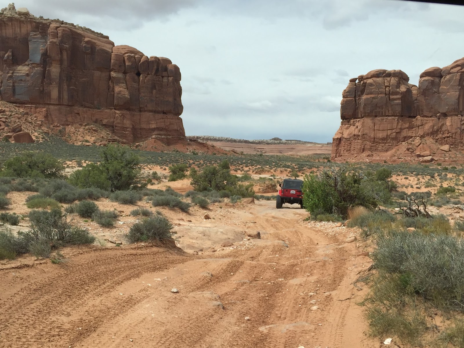


dropped into Tusher Wash...


and exited to the left on Mill Canyon Road.


Until next time...happy trails!

Sunday, April 17, 2016

Jeep Arch Trail

Portal RV Resort
Moab, UT
April, 13, 2016

Our hiking season in Moab was kicked off with a hike to Jeep Arch.  To reach the trailhead, head north on Hwy 191 and make a left turn on to Utah 279 (Potash Road).  Drive about 10 miles and the parking for the hike is across the street from Gold Bar Campground. 


 Culvert Canyon is so named because you have to walk through a long, tunnel-like culvert under a railroad track to venture into the canyon.


Once inside the canyon the sign for Jeep Arch Trail is just a short distance on the left.


A narrow, steep gravel path takes you to the rim.  


Once on the rim, we paused several times to look for cairns that mark the way.


We had views of Culvert Canyon and in the right, top quadrant of the photo below you can see the railroad track we walked under, Utah 279 and the campground. 


 From there the trail narrowed...


and then went up.


And there it was...Jeep Arch.


 Another short climb and we were there.


Joe looks so small compared to this magnificent piece of natural art.


Sitting under the arch, and looking left was our lunch view...


 ...but looking right was quite a sight too.


We had to crab walk some of the tall ledges we had climbed up to get back to the narrow trail in the picture below.


Joe and I liked this hike a lot.  It's about 4.5 to 5 miles full of scenic vistas.  Elevation gains come in spurts that get the heart pumping and in-between offers lots of time for pictures.  


A perfect day and two happy hikers!


Until next time, happy days...

and happy trails!